I was terrified of going to the wrong camp and getting murdered by a backcountry nut
Long Path Sections 21 + 22: Mink Hollow to Palenville
This is the eleventh installment of a series on section hiking the Long Path, a long-distance trail that runs over 350 miles from the West 175th Street subway station in New York City to John Boyd Thacher State Park near Albany. The adventure begins here, and you can read the previous installment here.
Mink Hollow to Devil’s Kitchen
We allowed ourselves a lazy, late start on the third day of our section hike. The spring near the Mink Hollow shelter is about a third of a mile down a side trail, in a rocky gully choked with fallen leaves. It burbled atmospherically as we filtered and filled our bottles, knowing we wouldn’t come across a water source again until we made camp.
We had a mere 7 miles to go to the shelter, but it was over three of the four peaks that make up the Eastern section of the Devil’s Path: Sugarloaf, Twin, and Indian Head. These are characterized by steep ascents and descents over giant shards of rock, with only a few, short level stretches in between.
A trio of hikers wearing red devil horns passed us, heading in the other direction, on a one-day traverse of the Devil’s Path. (It was the Saturday before Halloween, so the adornments were quite appropriate.) We didn’t think to ask what time they had started—they had made good time considering it was only midmorning—but the next couple of dayhikers we passed said they had started before 3am!
As soon as we climbed out of the notch, I turned my phone off airplane mode to check on my dad, grateful there was enough service even out here to do so. But it made for distracted hiking all day, as my thoughts were with him back in Kansas more than the trail under our feet. At one viewpoint I completely emptied out my bag looking for the battery pack—which I eventually found packed away inside our sleeping bag—to make sure my phone stayed charged.
A couple dayhikers, assuming we were hiking the Devil’s Path, asked us which way we were going and if we were staying out another night. They weren’t terribly interested in the Long Path—fair—but they did cluck and warn us ominously about the rain coming the next day.
A quartet of hikers passed us on their way up Indian Head, the last big summit in their Devil’s Path traverse (they had started around midnight, I think). They said it was an annual excursion for them, which we thought was absolutely nuts before determining it really wasn’t any crazier than walking the Great Saunter (a 32-mile jaunt around Manhattan, for my newer readers) every year.
We were moving at a snail’s pace, hiking slowly and breaking often. I vowed to pick up the pace a bit, to make sure we could make camp before dark.
Shortly after cresting Indian Head we popped out on a ledge where a man was sitting with his dog, his full backpack leaning nearby. He had a dejected air about him and the fresh air curdled around us, awkwardly. He asked if we had seen any seeps up on the mountain. I said not really, but there had been mud, so there was maybe water somewhere. We had passed dripping rocks much earlier in the day, but that was miles away. I think I was more positive that he could find water than I really should have been. He said no matter it was just the difference between having a cup of coffee in the morning or not.
It came out that he had been heading for Mink Hollow—where we had started many hours ago—but had underestimated the terrain. We were almost done with our day and he had barely made a dent in the Devil’s Path. I didn’t quite know what to say. I was in shock that someone could underestimate their abilities to that great of a degree. He was planning to camp somewhere up on the mountain. Now, there is no legal camping on Indian Head, but again, I didn’t know what to say—he was clearly in way over his head.
Only after we began the descent did I ask E if we should have offered him our water. We didn’t have a ton left, but we could have easily spared a half bottle. Maybe he needed water more than he let on. I was preoccupied with regret and guilt about not cottoning on sooner and doing the right thing all the way down the mountain. I had just gotten up the nerve to ask a couple hiking towards us with a couple dogs where they were headed, thinking they could carry a bottle back to him maybe, but it turned out they had gotten lost and taken a wrong turn on the way to a different viewpoint, on Overlook Mountain. We worried about them too, since they didn’t seem to have daypacks or headlamps and the light was fading fast.
I had finally put enough pep in my step to get us to the shelter before sunset, but there were backpacks and chairs already inside, with no sign of the owners. We had no idea if they would be horrible or lovely. We waffled a bit and then decided to camp in a hollow with a fire ring, where the leaves lay in ankle-deep drifts. I set up the tent while E fetched and filtered water, and we ate dinner in a pool of moonlight.
Another porcupine visited before we fell asleep, moving slow and ponderously unconcerned in our headlamp beams.
Devil’s Kitchen to Palenville
We broke camp efficiently and quickly the next morning, shoving bars in our mouths as we walked away. We had 12.5 miles to go to the bus stop, the only bus to New York was scheduled for 4:30pm—so we had to make decent time—and we had no idea when the rain would start.
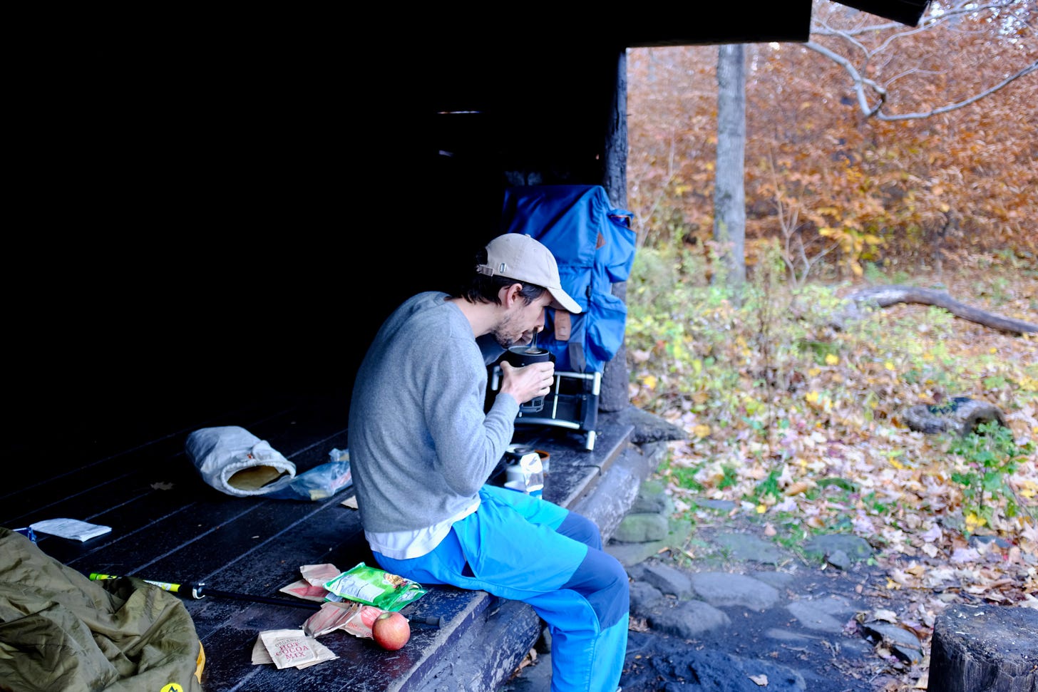
We stopped at Plattekill Creek to make coffee and hot chocolate, and to complain about the couple we had passed that morning walking with their dog, who had very obviously left a bag of excrement at the bridge rather than carrying it with them. (This wasn’t far at all from the parking lot, so they could have walked it back to their car instead.)
The rain held off nicely until we began climbing a narrow, rutted road on the north flank of Kaaterskill High Peak. The light drizzle quickly escalated into a steady pour. I dropped my pack to pull out my rain jacket and then moved further aside when I saw a truck rumbling towards us. The driver stopped to talk to E, a bit ahead of me, and then paused again when he passed me to say we were brave, and would be welcome to take shelter in his camp. While that was an immensely appealing idea, we were racing the clock. Plus, I wasn’t sure I had grasped his instructions for finding it well enough to take advantage, and would be terrified of walking up to the wrong camp and getting murdered by an overzealous backcountry nut.
The trail crested in an area known, according to the guidebook, as “Pine Plains,” which is apparently level and swampy at the best of times. That day it was more stream than swamp, and went on interminably. After a few bad steps our shoes were completely water and mud-logged. We finally began to descend and came across a small rock overhang, under which someone had built a small rock bench, big enough for a single backside. We hadn’t taken a break all day, so we crowded under and I began to prepare the last of our food, several sad packets of oatmeal. The concoction hadn’t even begun to bubble when the fuel sputtered out, leaving us a congealed mass of cold oatmeal.
We could try to make a small fire.
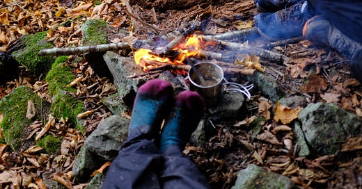
E and I gathered all the little dry twigs we could find. There were some fallen birch branches right outside the shelter, but birch will burn even when wet, so we gathered some of those, and cobbled together a little flame big enough to mostly heat our oatmeal through, with only a few burnt bits, and to warm our hands, even as we continued to shiver. I held my socked feet over the flames and watched them steam.
This was a bucket list item, for both of us, to actually take advantage of these rock overhang shelters that we come across with some regularity.
We finally left, after dousing the fire, somewhat warmer and drier and less hungry—if not exactly satisfied. We crossed over the top of Buttermilk Falls and very carefully peered down as best we could at the more than 500 foot drop, careful not to lose our footing and die. We crossed Wildcat Falls and again, did not die. Given that cloud cover was shrouding most of the would-be view, and we were cold and wet and had a bus to catch, we did not take the side trail to Poets Ledge. It’s good to save things for next time.
Palenville is no Phoenicia. There’s no cute convenient Main Street with all the shops lined up in a row. It’s made for people in cars. The Catskill Mountain Lodge (where the bus stop is) and the adjacent bar are “temporarily closed.” The Circle W Market, which sold hot sandwiches, was almost a mile away, and we had less than 30 minutes before the bus was scheduled to come—not nearly enough time. E ran to the Dollar General to get snacks (making impressive time!) while I waited at a stone wall. When we finally bundled ourselves into the warm bus—which miraculously had two open adjacent seats—we inhaled White Cheddar Cheez-its and peanut M&Ms and illicitly sipped the frothy Coors Lights we had smuggled in our Nalgenes.
Only 124 miles to John Boyd Thacher State Park and the northern terminus of the Long Path!
Hike it yourself (from NYC)
This section of the Long Path is accessible by bus from New York City, with frequent buses to and from Phoenicia, and much less frequent buses to and from Palenville (one a day, max).